Miscellaneous Road Pictures
The A6144(M) is one of the quirks of Britain's motorway network - a single-carriageway spur about a mile long joining the M60 at junction 8, west of Stretford, to the A6144 west of Sale, bridging the Mersey in the process. There are two other single-carriageway motorway stretches, but both are very short.
As motorway regulations apply, stopping is prohibited except in emergencies, and a 70 mph speed limit applies, giving a rare opportunity to drive legally at 70 mph on a single-carriageway road. There are no hard shoulders, but two emergency laybys are provided about half-way along.
It has been given motorway status because it only leads to a motorway junction, and so cannot be used by traffic barred from motorways, although it is possible to reach the A56 at Stretford along slip roads without joining the main M60.
It can't be considered part of the stategic road network, but it provides a useful link between the M60 and the large chemical works at Carrington and the commuter villages of Partington and Lymm, and is used by a substantial volume of traffic, including many HGVs, that otherwise would need to go through the centre of Sale.
The M60 is currently being widened, and once the works are completed the A6144(M) will - perhaps regrettably - lose its motorway status and simply become a spur of the A6144. No doubt we will also then see a 50 or even 40 mph limit and a brace of Gatsos...
The location of the road can be seen here.
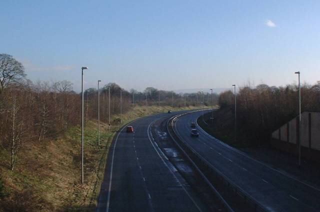
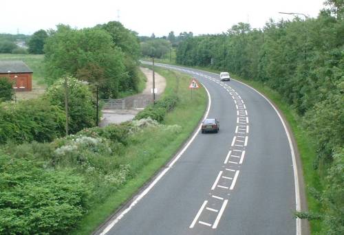
Looking eastwards from the footbridge which crosses the road about two-thirds of the way along. The prohibition of stopping limits photographic opportunities. The centre line has been marked out with a wide hatched area, but as it is bounded by broken lines, overtaking is permitted where safe to do so. The line of the road can be traced behind the trees up to the short section visible at the extreme top left, just before the junction with the M60.
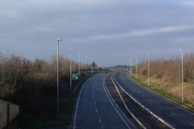
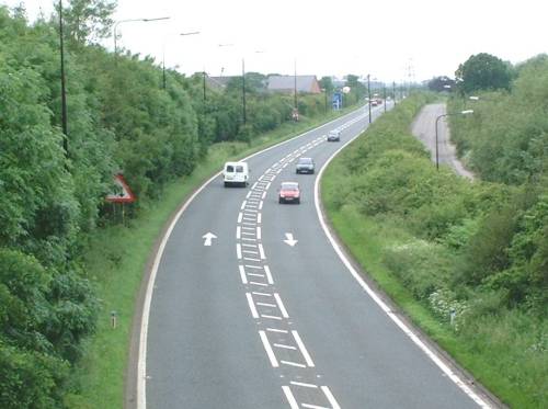
Looking westwards, with the signal-controlled junction with the A6144 proper visible in the distance, and a blue motorway sign showing a T-junction.
This is a two-mile stretch of high-quality dual carriageway on the southern outskirts of Stockport, opened in the Autumn of 1996. It was intended to form part of a south-eastern bypass of Stockport, linking the M60 at Bredbury with Manchester Airport and the M56, but further construction was shelved.
The road scheme has been revived in a watered-down form in the mid-2000s as the SEMMMS (South-East Manchester Multi-Modal Study) scheme, and a decision on whether to proceed is expected in summer 2005.
The location of the road can be seen here.
Looking eastwards from a bridge carrying the unclassified Hall Moss Lane. This picture, taken on a cold winter morning, clearly shows the high standard of the road and the lack of traffic.
Looking westwards from the same point. The sign for the A34 junction is clearly visible. At present it is ludicrous that the A555 has a flyover at this junction, but the A34 must carry at least ten times the traffic.
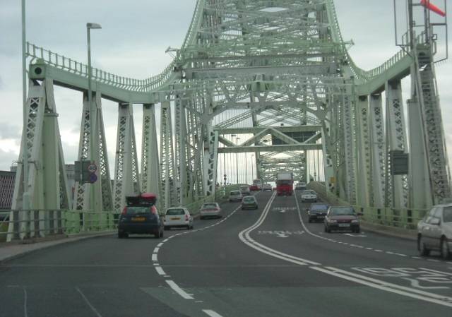
The A533 Runcorn-Widnes Bridge, opened in 1961 as a two-lane single carriageway and widened to four lanes in 1977. With a span of 1082 feet, this is the longest untolled bridge span in the UK. (Photo courtesy of LMARS)
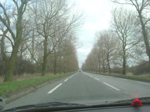
The A5117 Chester Bypass, a typical wide, straight 1930s new-build arterial road, now relieved by the M56. This stretch was originally three lanes with a central "suicide lane". (Photo courtesy of LMARS)
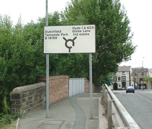
Globe Square, Dukinfield, Tameside. I didn't think they had any 5-digit B-roads, and surely this one is well out of zone!
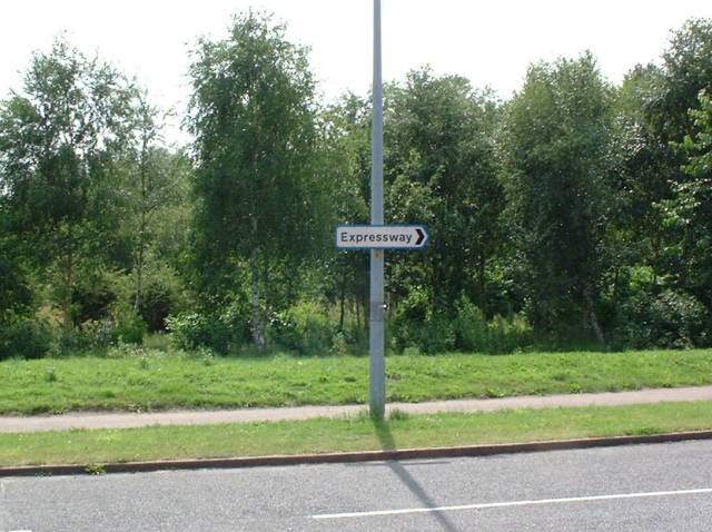
A blue-bordered local sign in Runcorn showing "Expressway" as a destination. Although odd, this is understandable here as a through route has been diverted through a housing estate and it would be easy to become lost.
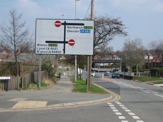
An impressively large pre-Guildford Rules diagrammatic direction sign at the Halton Brook junction on the Runcorn Expressways. Look at the amount of white space that is wasted while at the same time destinations are abbreviated.
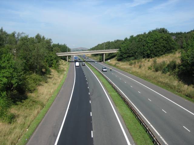
The M66 running through Ramsbottom in the Rossendale valley. Although the motorway cuts through the eastern side of the town, you would not notice when driving along it. Note that it is unlit here.
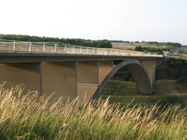
The M62 Scammonden Bridge taken from the B6114 which crosses the bridge.
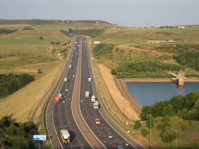
The M62 looking east from the Scammonden Bridge over the Scammonden dam.
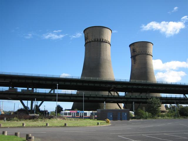
The M1 Tinsley Viaduct with the landmark disused cooling towers in the background.
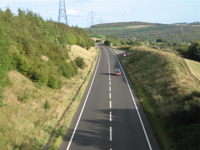
The A616 Stocksbridge bypass. This high-quality stretch of road, built in the late 1980s along the alignment of the cancelled M67 Manchester-Sheffield motorway, is unfortunately now blighted by SPECS speed-averaging cameras.
The A6144(M)
The A555
